Narrows of Raasay, Sound of Raasay and The Storr, Skye
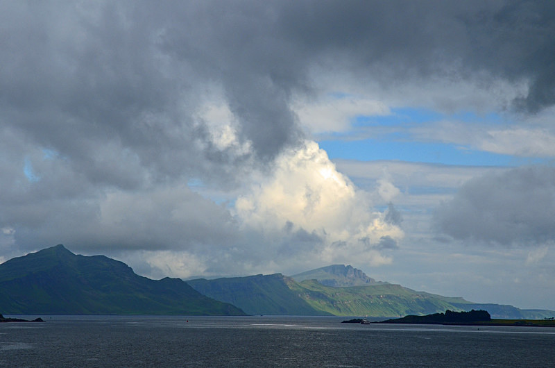
The Narrows of Raasay and the Sound of Raasay are the stretches of water between the islands of Raasay and Skye. The Sound of Raasay is the deepest water in the UK Continental Shelf at 1,062 feet, exceeding the 987 feet below sea level depth observed at Loch Morar.
The Storr is a rocky hill on the Trotternish peninsula of Skye. The hill presents a steep rocky eastern face overlooking the Sound of Raasay, contrasting with gentler grassy slopes to the west. The Storr is a prime example of the Trotternish landslip, the longest such feature in the UK. The area in front of the cliffs of the Storr is known as the Sanctuary. This has a number of weirdly shaped rock pinnacles, the remnants of ancient landslips.
Date: 21st June 2014
Location: view from the unclassified road east of Sconser
|
Also in: Sea and sand
 |  |  |  |  |
 |  |  |  |  |
 |  |  |  |  |