Kyle of Durness, Highland
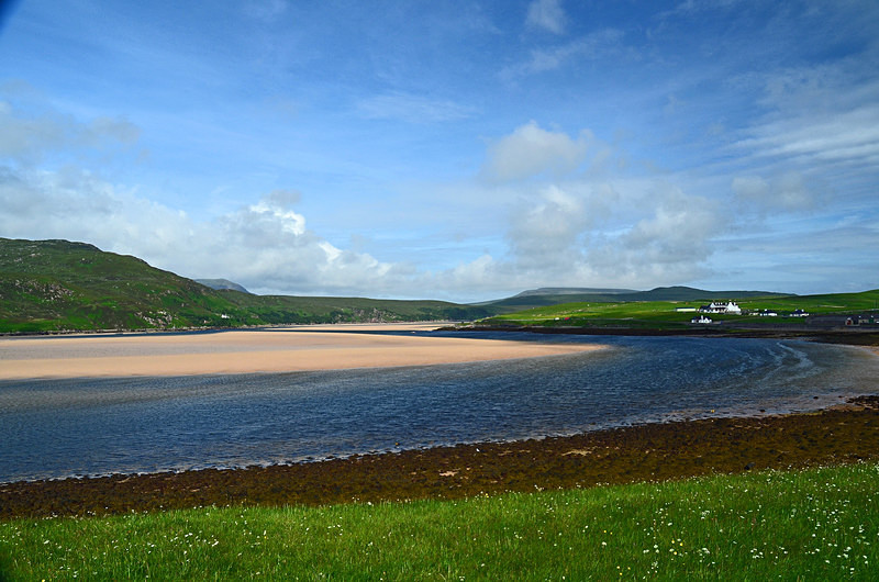
The Kyle of Durness is a broad and sandy coastal inlet in the far north west of Scotland. It extends 5.5 miles inland from Balnakeil and divides the Cape Wrath peninsula from the mainland. The nearest village is Durness.
The Kyle of Durness is around 0.5 miles wide and tidal with only a narrow channel of water remaining at low tide along most of its length. Unlike other coastal inlets along Scotland's north coast it is not straight, having 2 major bends around Keoldale. It opens into Balnakeil Bay which is around 2 miles wide at its mouth. The River Dionard and River Grudie flow into the Kyle of Durness at its southern end with the River Daill and a number of minor streams also flowing into it along its length.
The geology along the eastern side of the Kyle of Durness is limestone with rolling grasslands dominating. The Kyle of Durness and its surrounding area forms part of the Oldshoremore, Cape Wrath and Durness Special Landscape Area. It contains a number of archaeological remains dating to the prehistoric period.
The A838 road runs along the eastern shore of the Kyle of Durness in its southern section with an unclassified road leading west to Keoldale, the only remaining settlement on the shore. The Cape Wrath passenger ferry operates from Keoldale between May and September and this connects with a minibus on the other side which conveys visitors on a very rough 14 mile journey on a track across The Parph to Cape Wrath, the most north westerly point on the Scottish mainland. The western shore of the Kyle of Durness is uninhabited with the former farmsteads at Achimore and Daill the only settlements.
Date: 18th June 2014
Location: view looking north from the A838
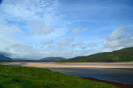
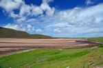
|
Also in: Sea and sand
 |  |  |  |  |
 |  |  |  |  |
 |  |  |  |  |