Loch Broom, Wester Ross
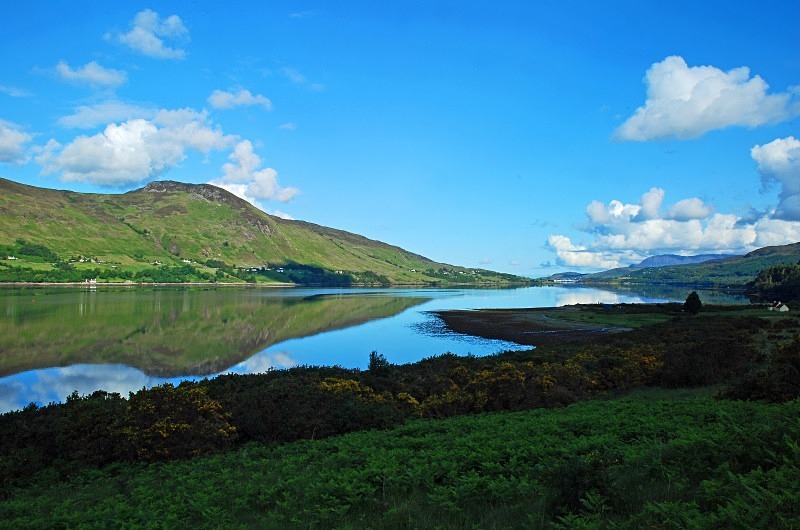
Loch Broom opens from the Minch at a width of 12.5 miles and covers a distance of 7 miles south-eastwards holding the Summer Isles.
At its mouth proper, with the sea loch Loch Kanaird to the east and Annat Bay to the west, Loch Broom is 4 miles wide and runs south east for about 9.5 miles at a width of 1 mile where it is fed by the River Broom.
Ullapool, on the north east shore of Loch Broom, began as a planned village built by Thomas Telford and the British Fisheries Society in 1788 to exploit the boom in herring fishing. It is now the largest settlement in the area and serves as the terminal for the ferry to Stornaway in the Western Isles.
The entrance to Loch Broom is overlooked to the north by the mountain of Ben More Coigach on the Coigach peninsula and to the south by the mountains of Beinn Ghobhlach and Beinn nam Ban on the Scoraig peninsula which separates Loch Broom and Little Loch Broom.
Broom comes from the gaelic word "bhraoin" meaning place of rain showers.
Date: 12th June 2011
Location: view from the A835 road looking north towards Ullapool
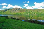
|
Also in: Sea and sand
 |  |  |  |  |
 |  |  |  |  |
 |  |  |  |  |