Loch Don, Mull, Argyll
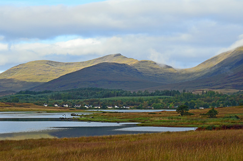
Loch Don is located on the east coast of Mull to the south of Craignure where it forms a significant inlet of the Firth of Lorne. To the south of the mouth of Loch Don is the headland of Grass Point, with Gorten to the north, whilst at its head is the hamlet of Lochdon on the A849 Craignure to Fionnphort road.
Loch Don itself is a tidal estuarine body of water that transforms the appearance of the village depending on the state of the tide. An unclassified road at the north end of the village passes several houses before running alongside the shores of Loch Don towards Gorsten where it ends.
Date: 19th September 2016
Location: view from the unclassified road at Gorsten looking west across Loch Don towards Lochdon
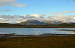
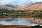
|
Also in: Sea and sand
 |  |  |  |  |
 |  |  |  |  |
 |  |  |  |  |